All area guides
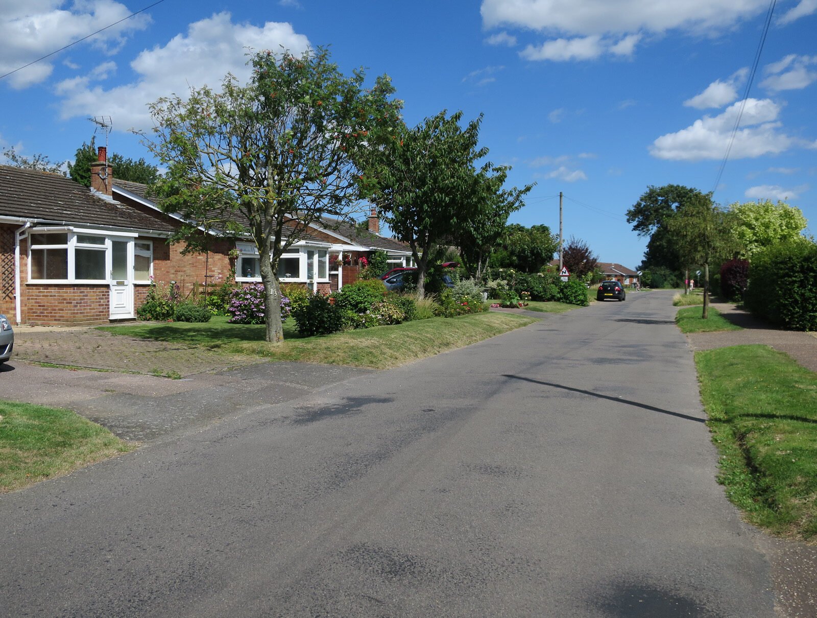
Living in Blofield
Blofield costs more than most of Broadland because of where it sits: five miles east of Norwich beside the A47, with Brundall station a mile and a half south.

Blofield costs more than most of Broadland because of where it sits. The village is five miles east of Norwich beside the A47, whose single-carriageway stretch between Blofield and North Burlingham became dual carriageway in May 2026, and Brundall station, with up to two trains an hour into the city, is about a mile and a half south. HM Land Registry recorded a median sale price of £374,000 in the parish over the 12 months to June 2026, and most of what sold was detached.
Where it is: about 7 miles east of Norwich city centre as the crow flies, in Broadland district, postcode NR13.
Blofield suits a household with one foot in Norwich and the other on the water, and the budget for a detached house.
It works if someone commutes to the city or to Broadland Business Park, the children are of primary age, and you want the Broads on the doorstep without living in a holiday village. It is harder to justify if you need a secondary school with a sixth form nearby, want a high street to walk to, or are shopping at the bottom of the market; Brundall, next door, has both stations within the village.
The village
The parish takes in Blofield itself, Blofield Heath to the north and the hamlet of Blofield Corner, and it has grown quickly: 4,087 people at the 2021 Census, against 3,316 in 2011. The parish church of St Andrew and St Peter is a flint building of the 14th century and later, with a 15th-century west tower. It has been Grade I listed since 1962.
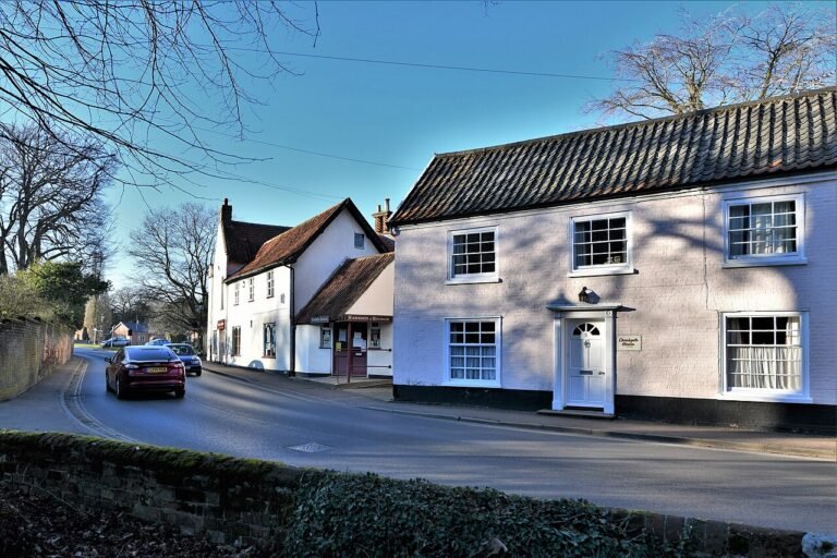
Day-to-day shopping is at village scale. The post office on The Street keeps shop hours of 07:30 to 21:00 every day, and Blofield Heath has a second post office on Woodbastwick Road. The library is in The Reading Room; Norfolk County Council runs it with self-service open-library access from 8am on most days and staff on duty for part of the week. The Kings Head at 39 Yarmouth Road serves food and is closed on Mondays. For a weekly supermarket shop most people drive, although the 15 bus stops opposite the Lidl at Broadland Gate on its way into the city.
Blofield Surgery on Plantation Road is the village GP practice, open 8am to 6.30pm on weekdays, and its NHS listing shows it accepting new patients. The nearest A&E is at the Norfolk and Norwich University Hospital on the far side of the city.
The Margaret Harker Hall, opened in 1923, is the village hall, and its Memorial Ground holds the tennis club, the Scouts and a football pitch. Norwich United, who play in the Eastern Counties League Division One North in 2026-27, are based at Plantation Park.
Getting to Norwich
The road is the big change. National Highways has replaced the single-carriageway stretch of the A47 between Blofield and North Burlingham with 2.6 miles of dual carriageway, open to two-way traffic at 70mph since 6 May 2026. The finishing work, which turns the old road into a local route with cycle paths, has closures planned into October 2026. Off-peak, the drive to the Norwich ring road is typically 15 to 20 minutes, and Great Yarmouth is 30 to 35 minutes the other way.
By train, Brundall and Brundall Gardens are both on the Greater Anglia Wherry Line. From Brundall there are up to two trains an hour on weekdays, 41 a day, taking 11 minutes on average to Norwich; the first leaves at 06:04 and the last at 23:57. Norwich station is where the London and Cambridge trains start, so a rail commute from Blofield usually begins with a short drive or cycle to Brundall.
The bus is slower but serviceable in the daytime. First Eastern Counties runs the Green Line 15 from Blofield Heath through the village, Brundall, Broadland Business Park and Thorpe St Andrew to Norwich station and Castle Meadow, roughly hourly on weekdays. The first bus leaves from beside the surgery at 06:32 and reaches Castle Meadow at 07:09; the last one back leaves Castle Meadow at 18:45. On Sundays there are four journeys each way. Sanders Coaches runs the 855 school bus between Little Plumstead, Blofield and Acle Academy, and Ambassador Travel’s 68 makes one morning run from Blofield, leaving the surgery stop at 07:27, through Great Yarmouth to East Norfolk Sixth Form College in Gorleston.
Thinking about moving to Blofield?
Get the free Norfolk Relocation Pack: Blofield and the other 45 towns we cover on one table, on price, council tax, population, trains and distance to Norwich, plus a week-by-week move checklist. The download appears here as soon as you enter your email.
Unsubscribe any time.
House prices
HM Land Registry recorded 66 standard sales in Blofield, Blofield Heath included, in the 12 months to June 2026. The median was £374,000 and the mean £386,000. Detached houses made up 41 of the sales, with a median of £440,000; the 16 semi-detached houses had a median of £297,000 and the seven terraced houses £205,000. Six were new builds, with a median of £475,000. With so few sales, one or two expensive houses move these figures, and the latest months are still being registered.
Source: UK House Price Index (HM Land Registry and ONS), average price for all property types in Broadland, July 2026 release; the July 2026 figure is provisional. The index adjusts for the mix of homes sold, so it will not match the simple Blofield median above.
Across the district the index put the average at £313,407 in July 2026, up 2.9% on a year earlier. Blofield’s median sits about £60,000 above that, largely because so much of what changes hands here is detached. For the county picture, see our Norfolk property market guide.
Official rent figures stop at district level. The ONS put the average private rent in Broadland at £938 a month in August 2026, up 4.1% on a year earlier.
Council tax and broadband
Blofield’s Band D bill for 2026-27 is £2,394.87. A Broadland parish with no precept pays £2,323.08, so the parish council’s share is £71.79 a year at Band D. Across Broadland, thinkbroadband’s September 2026 data shows 84.39% of premises can get full fibre and 98% can get superfast speeds of 30 Mbps or more; check the address itself on Ofcom’s broadband checker before you buy.
Schools: two Good primaries, secondary out of the village
Schools serving Blofield
The two village primaries and the secondary and neighbouring schools Blofield families most often consider. Catchments are set by Norfolk County Council each admissions round, and its published maps decide which applies to a given address.
- Blofield Primary School (ages 4 to 11), Plantation Road, NR13 4PL, URN 120788. Rated Good at its last graded inspection in March 2019 and kept that rating at an inspection on 4 June 2024. The nearest school for most homes in Blofield itself.
- Hemblington Primary School (ages 5 to 11), Mill Road, Blofield Heath, NR13 4QJ, URN 144574. Rated Good on 22 May 2024, with behaviour and attitudes judged Outstanding. It serves the Blofield Heath side of the parish.
- Acle Academy (ages 11 to 16), South Walsham Road, Acle, NR13 3ER, URN 138758. Inspected under Ofsted’s new report cards on 12 May 2026, with the report published on 8 September 2026: expected standard for achievement, curriculum and teaching, and personal development and wellbeing; needs attention for attendance and behaviour, inclusion, and leadership and governance. Safeguarding standards were met. It had 709 pupils against a capacity of 711.
- Thorpe St Andrew School and Sixth Form (ages 11 to 18), on the Norwich side, and the choice for families who want a school with its own sixth form.
- Brundall Primary School (ages 4 to 11), in the next village, closer to Brundall station than to Blofield.
- Sprowston Community Academy (ages 11 to 18), a larger secondary on Norwich’s north-east edge with a sixth form attached.
Grades and dates from the Ofsted reports, checked 24 September 2026. Ratings change between inspections, so check the live register before you put a school first on an admissions form.
The Acle report is the one to read closely. It is the nearest secondary by road and the 855 school bus runs to it, but it stops at 16, so sixth-formers move on anyway: to Thorpe St Andrew, to the Norwich colleges, or on the 68 bus to East Norfolk Sixth Form College in Gorleston. Families weighing the independent route can see how the Norwich day schools and Langley compare from this side of the city in our guide to private schools east of Norwich.
Flood risk
The built-up village sits on higher ground north of the A47, and the Environment Agency’s flood map for planning puts most of it in Flood Zone 1, the lowest tier, where the annual chance of flooding from rivers or the sea is less than one in a thousand. The Yare valley to the south and the Hassingham marshes further east carry Flood Zone 2 and 3 designations, and so do the fields south of the A47 and the river edge. For a house close to the A47 or south of it, get a property-level flood report before you commit.
Outdoors
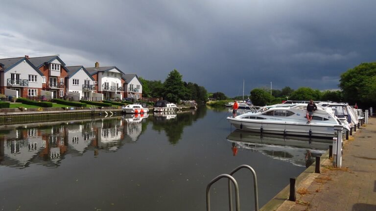
The Broads start at Brundall, where the nearest moorings are, and the boating season on the wider waterway runs from April to October. The lanes north of the village and the footpaths south towards the Yare are the everyday dog walks. Whitlingham Country Park at Trowse, about 15 minutes west by car, has a path round the broad and off-lead areas.
Plan the move
How we produced this guide
Blofield sale prices are from HM Land Registry Price Paid Data, standard sales only, for the 12 months to June 2026; Blofield Heath addresses are registered under Blofield. District prices are from the UK House Price Index for Broadland, July 2026 release, and rents from the ONS. The population is the 2021 Census parish total. School grades and dates are from Ofsted reports, checked on 24 September 2026. Bus times are from the timetables on bustimes.org and train frequencies from Greater Anglia’s Brundall to Norwich page, both checked on 24 September 2026. The A47 details are from National Highways. Council tax is from Broadland District Council’s 2026-27 charges and broadband coverage from thinkbroadband. Drive times are typical off-peak times. See our methodology page for source links.
Frequently asked questions
Is Blofield a good place to live?
For a household commuting to Norwich with children at primary age, yes: both village primaries are rated Good, Brundall station is about a mile and a half away and the A47 east of the village is now dual carriageway. It is expensive for Broadland, with a median sale price of £374,000, and the nearest secondary, Acle Academy, stops at 16.
What are the schools like in Blofield?
Blofield Primary and Hemblington Primary, at Blofield Heath, are both rated Good. Acle Academy, the nearest secondary, was graded expected standard in three areas and needs attention in three at its May 2026 inspection. Thorpe St Andrew School and Sixth Form is the Norwich-side option with a sixth form.
Which buses serve Blofield?
First Eastern Counties’ Green Line 15 runs roughly hourly on weekdays from Blofield Heath through Blofield and Brundall to Norwich, with the last bus back from Castle Meadow at 18:45 and four journeys each way on Sundays. Sanders runs the 855 school bus to Acle Academy, and Ambassador Travel’s 68 makes one morning run to East Norfolk Sixth Form College in Gorleston.
Related guides
Data sources: HM Land Registry, ONS, Ofsted, bustimes.org, Greater Anglia, Broadland District Council. Sale prices to June 2026; district index to July 2026; Ofsted reports checked 24 September 2026. Author: Sarah Ellis, Coast and Broads Editor.
Last reviewed
Still weighing it up? See how Blofield compares with Brundall on prices, schools, broadband and council tax, or answer five quick questions and get a shortlist of the Norfolk towns that fit you.
Planning a move to Norfolk?
Our guides to hiring the firms a move needs.
We earn no commission on these links. Paid placements are sold separately and always labelled. See our advertising and disclosure page.