All area guides

Living in Stalham
Stalham is a Broads town where you can still do the weekly shop on foot, and houses cost a good deal less than at Wroxham. There is no railway.

Stalham is a Broads town where you can still do the weekly shop on foot, and houses cost a good deal less than at Wroxham. HM Land Registry recorded a median sale price of £219,500 in the town in the 12 months to June 2026, against £385,000 in Hoveton, about seven miles away at Wroxham bridge. The staithe opens onto the River Ant, Boots is on the High Street with Tesco just off it on Old Market Road, and the GP surgery is at the bottom of Lower Staithe Road. What you give up is the railway: Norwich is about 15 miles away by car, or roughly 50 minutes on the hourly bus.
Where it is: about 14 miles north-east of Norwich city centre as the crow flies, in North Norfolk district, postcode NR12.
Stalham suits a buyer who wants to keep a boat or walk to the water, and who can drive for most things beyond the High Street; retired buyers moving from a larger house are the obvious fit. It suits nobody who needs a train every morning, and a household without a car will find the evenings and Sundays long, because the Norwich bus stops at about ten at night and does not run on Sundays.
The town and the water
Stalham sits on the upper River Ant, about 15 miles north-east of Norwich and six miles inland from the beach at Sea Palling. The parish had 3,573 residents at the 2021 Census, up from 3,149 in 2011. The railway station, on the old Midland and Great Northern line, closed in 1959, and the Tesco on the edge of the centre opened in 2002.
The boatyards are what set Stalham apart from other small north Norfolk towns. Richardson’s Boating Holidays runs its hire fleet from a marina at The Staithe (NR12 9BX) and says it owns the largest fleet of boats on the Broads. Barton Broad, the second largest of the Broads and a Norfolk Wildlife Trust reserve since 1945, is a short cruise down the Ant. The trust’s boardwalk through the wet woodland is wheelchair accessible and ends at a viewing platform over the water.
The Museum of the Broads is at the Poor’s Staithe. Its 2026 season runs until Sunday 1 November, Tuesday to Sunday and bank holiday Mondays, 10am to 4pm. Adult entry is £9.50, ages 12 to 17 pay £5.50 and under-12s go free, and the ticket lets you back in free for 12 months. The museum’s electric launch, Marsh Harrier, takes one-hour trips on the river four times a day on open days (adults £10), which is a cheap way for anyone thinking of buying here to spend an hour on the Ant before committing.
House prices
HM Land Registry recorded 34 standard sales in Stalham in the 12 months to June 2026. The median was £219,500 and the mean £249,500. It is a small sample, so one or two unusual sales can move these figures, and the most recent months are still being registered.
| Property type | Sales | Median price |
|---|---|---|
| Detached | 11 | £370,000 |
| Semi-detached | 11 | £230,000 |
| Terraced | 5 | £183,000 |
| Flats | 7 | £120,000 |
The comparison most buyers make is with Wroxham and Hoveton, the two villages either side of the bridge at the head of the Bure. Over the same 12 months the median was £385,000 from 37 sales in Hoveton and £437,500 from 24 in Wroxham. Part of that gap is the mix, because detached houses made up most of the sales in both, but the gap on semis is real too: £230,000 in Stalham against £290,000 from four sales in Hoveton. The dearest Stalham sales were detached houses on Yarmouth Road, Brumstead Road and St John’s Road, between £490,000 and £530,000.
For the district, the UK House Price Index put the North Norfolk average at £292,563 in July 2026, down 3.1% on a year earlier. The index adjusts for the mix of homes sold and is pulled up by Holt, Cromer and the coast, so it will not match the Stalham figures above.
Thinking about moving to Stalham?
Get the free Norfolk Relocation Pack: Stalham and the other 45 towns we cover on one table, on price, council tax, population, trains and distance to Norwich, plus a week-by-week move checklist. The download appears here as soon as you enter your email.
Unsubscribe any time.
Getting around
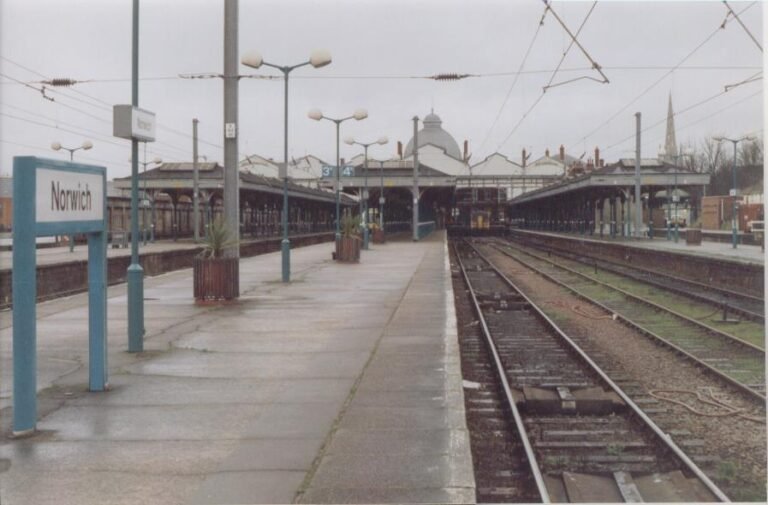
Stalham has no station. The nearest are on the Bittern Line between Norwich and Sheringham: Worstead, Hoveton & Wroxham and North Walsham. Greater Anglia runs roughly one train an hour, and Norwich to Hoveton & Wroxham takes about 15 minutes, so the usual rail commute is a short drive and a train from Hoveton.
The bus into Norwich is Central Connect’s route 10, which runs hourly through Hoveton, Wroxham and Sprowston to Castle Meadow. The first weekday bus leaves Stalham at 07:11 and reaches the city at 08:10; daytime journeys take about 50 minutes. The last bus home leaves Castle Meadow at 22:28. There is no Sunday service. Sanders runs the 6 and X6 between North Walsham and Great Yarmouth through Stalham several times a day, including a morning journey that reaches Paston College in North Walsham, and the 34 and 34A to Mundesley, Hickling and Catfield.
The drive times below are typical off-peak times on the main roads.
| Destination | Road distance | Off-peak drive | Notes |
|---|---|---|---|
| Hoveton & Wroxham | ~7 miles (A1151) | ~15 min | Bittern Line station, about 15 minutes by train to Norwich |
| North Walsham | ~8 miles (A149) | ~15 min | Bittern Line station; Paston College sixth form |
| Sea Palling | ~6 miles (A149/B1159) | ~15 min | Nearest beach |
| Norwich city centre | ~15 miles (A1151) | ~35 min off-peak, up to 60 min at rush hour | Norfolk and Norwich University Hospital is on the far side of the city |
| Cromer | ~15 miles (A149) | ~30 min | Nearest cinema and theatre |
| Great Yarmouth | ~19 miles (A149) | ~40 min | James Paget University Hospital is at Gorleston, just south |
| Norwich Airport | ~16 miles | ~35 min |
Schools: in town to 16
A child can go from nursery to 16 without leaving Stalham, across three state schools.
Stalham Infant School and Nursery (URN 147321), on Old Yarmouth Road, takes children aged 2 to 7 and has 118 on roll. It became an academy in the Broad Horizons Education Trust in August 2019, and its only inspection since, on 6 July 2023, did not give an overall grade, so there is no current rating to quote.
Stalham Academy (URN 140819) is the junior school for ages 7 to 11, with 217 pupils. Ofsted rated it Good in 2016, and an inspection on 29 November 2022 found it still Good.
Stalham High School (URN 141395) takes 492 pupils aged 11 to 16 and was rated Good in every area at its inspection on 25 June 2024. There is no sixth form. Students go on to Paston College in North Walsham, which the Sanders 6 reaches in the morning, to East Norfolk Sixth Form College in Gorleston, or to City College Norwich. Our Norfolk state schools guide covers admissions.
The High Street
The High Street covers most weekly errands. Tesco is the main food shop. Boots has its pharmacy at 68 to 70 High Street, the Post Office is at number 41, and Cawdrons, a butcher that also runs a Nisa convenience store, is at 101 to 107. Stalham Staithe Surgery is on Lower Staithe Road, open 8am to 6:30pm on weekdays.
There are three pubs: the Swan Inn at 90 High Street, the Grebe and the Harnser. The Poppy Centre on the recreation ground is the town’s community building, with a hall that seats 150, a gym and meeting rooms. Once a year in August the Stalham Area Business Forum closes the High Street for a vintage and collectors’ market of more than 60 stalls.
The nearest cinemas and theatres are in Cromer and Norwich.
Council tax and broadband
Stalham’s Band D bill for 2026-27 is £2,531.75, set by North Norfolk District Council. Only Fakenham and Stibbard pay more in the district. Parts of North Norfolk with no parish precept pay £2,366.82, so Stalham Town Council’s share is £164.93 a year at Band D. Band A is £1,687.83 and Band C £2,250.44. Our Norfolk council tax guide compares the districts.
We have no Stalham-only broadband figure. Across North Norfolk, thinkbroadband’s September 2026 data shows 64.07% of premises can get full fibre and 96.18% superfast speeds of 30 Mbps or more, well below neighbouring Broadland, where 84% can get full fibre. Check the address on Ofcom’s broadband checker before you buy.
Walking, cycling and the coast
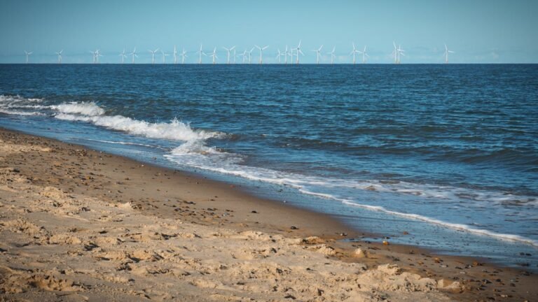
The Weavers’ Way, the 61-mile path from Cromer to Great Yarmouth, passes through Stalham. West of the town it follows the old railway trackbed for 4.5 miles to Bengate, a flat off-road route for walking or cycling that crosses the line of the disused North Walsham and Dilham Canal on the way. Sea Palling, about six miles east, is the nearest beach.
Homes near the staithe sit on low ground beside the Ant. Check any address on the Environment Agency’s long-term flood risk service, and see our Norfolk flood risk guide for how to read it.
Plan the move
How we produced this guide
Stalham, Hoveton and Wroxham sale prices are from HM Land Registry Price Paid Data, standard sales only, for the 12 months to June 2026, grouped by the locality in the registered address. The district figure is from the UK House Price Index for North Norfolk, July 2026. Population is from the ONS 2021 and 2011 Censuses for Stalham parish. School details are from Ofsted reports and the Department for Education’s register of schools (URNs 147321, 140819 and 141395). Council tax is from North Norfolk District Council’s 2026-27 charges. Bus times are from the timetables on bustimes.org, checked 24 September 2026, and train times from Greater Anglia’s Bittern Line timetable valid from 17 May 2026. Museum times and prices are from the Museum of the Broads website. Broadband coverage is from thinkbroadband. Distances and drive times are typical figures for the main roads. See our methodology page for source links.
Frequently asked questions
Is Stalham a nice place to live?
It suits people who want the Broads on the doorstep and a High Street with a supermarket, pharmacy and GP, at prices well below Wroxham’s. It does not suit anyone who needs a daily train or wants to live without a car.
What is the population of Stalham?
The parish had 3,573 residents at the 2021 Census, up from 3,149 in 2011.
What is the average house price in Stalham?
The median of the 34 standard sales HM Land Registry recorded in Stalham in the 12 months to June 2026 was £219,500. Detached houses had a median of £370,000 and semis £230,000.
How far is Stalham from Norwich?
About 15 miles, roughly 35 minutes by car off-peak and up to an hour in the morning rush. The hourly Central Connect 10 bus takes about 50 minutes. There is no station in Stalham; the nearest are on the Bittern Line at Worstead, Hoveton & Wroxham and North Walsham.
Can you live in Stalham without a car?
Day to day, yes, if you live near the centre: Tesco, Boots, the Post Office and the surgery are all in town. The Norwich bus is hourly, the last one home leaves at 22:28, and it does not run on Sundays.
How good is Stalham for the Broads?
Stalham Staithe opens onto the River Ant, Barton Broad is a short cruise downstream, and Richardson’s Boating Holidays runs its hire fleet from the town. The Museum of the Broads is at the Poor’s Staithe, open Tuesday to Sunday until 1 November 2026.
Related guides
- Living in North Walsham, Norfolk
- Living in Wroxham and Hoveton, Norfolk
- Living in Acle, Norfolk
- Best Norfolk beaches
- Norfolk transport guide
Data sources: HM Land Registry, ONS 2021 Census, Ofsted, North Norfolk District Council, bustimes.org, Museum of the Broads. Prices to June 2026; latest Ofsted inspections. Author: Sarah Ellis, Coast and Broads Editor.
Last reviewed
Still weighing it up? See how Stalham compares with Loddon on prices, schools, broadband and council tax, or answer five quick questions and get a shortlist of the Norfolk towns that fit you.
Planning a move to Norfolk?
Our guides to hiring the firms a move needs.
We earn no commission on these links. Paid placements are sold separately and always labelled. See our advertising and disclosure page.