
Norfolk towns and villages on one map
This map has a marker for each of the 46 towns and villages with their own area guide on this site. Click one for a line on where the place is and how it connects, then follow the link to the full guide. We cover 48 places in all; the other two, the Norfolk Broads and Norwich city centre, are areas with guides of their own and no single pin.
The interactive map
Click a marker for a short description and a link to the full guide. Click the map once to turn on zooming with the scroll wheel.
How to read the map
The 46 places fall into four groups.
Cities and major towns are the five largest urban centres in the county at the 2021 Census: Norwich, King’s Lynn, Great Yarmouth, Gorleston-on-Sea and Thetford. Norfolk had about 916,000 residents at that census, and Norwich about 144,000 of them.
Market towns are the biggest group, 21 places with a market history. They range from 2,147 residents in Wells-next-the-Sea to 19,256 in Dereham.
Norwich suburbs are the nine places that border the city or have been built up into it. The Norwich travel-to-work area defined by the ONS reaches further, out to Wymondham, Attleborough, Long Stratton and Aylsham, but we list those four as market towns.
Villages and Broads are the other 11, smaller and more rural, several of them on the edge of the Broads.
The map is for the stage before a shortlist, when you know it is Norfolk but not which part. Once you have two places in mind, the compare towns tool puts them side by side on house prices, school ratings, council tax and commute times.
Each marker gives one line, mostly on where the place sits and how you get out of it: the two market places at King’s Lynn, the A11 and the Norwich to Cambridge line at Attleborough, the Bittern Line station at Cromer. The guides go into the detail and use the same sources for every town, including HM Land Registry sold prices, Ofsted inspections, broadband coverage figures and the ONS census.
Norfolk has several hundred named places if you count every hamlet. A place goes on the map only once its guide has been written, its figures sourced and checked, and it has joined the refresh schedule. The methodology page lists the sources.
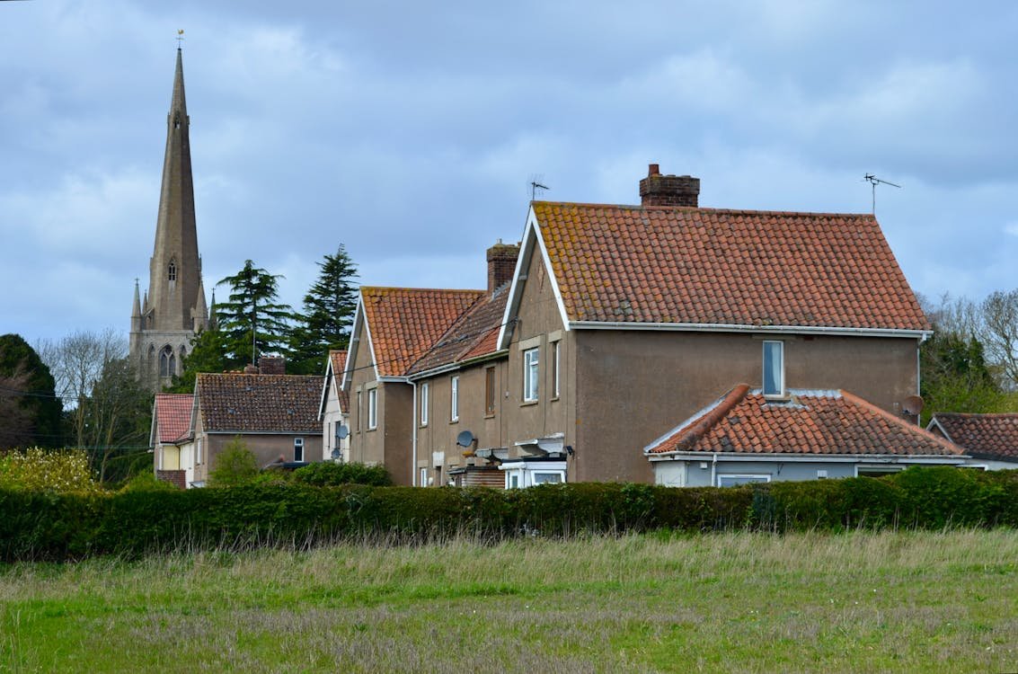
All 46 Norfolk towns and villages we cover
If the map does not load, here are the same 46 guides in their four groups.
Cities and major towns
Market towns
- Attleborough
- Aylsham
- Cromer
- Dereham
- Diss
- Downham Market
- Fakenham
- Harleston
- Hingham
- Holt
- Hunstanton
- Loddon
- Long Stratton
- North Walsham
- Reepham
- Sheringham
- Stalham
- Swaffham
- Watton
- Wells-next-the-Sea
- Wymondham
Norwich suburbs
Villages and Broads
- Acle
- Blofield
- Brundall
- Burnham Market
- Caister-on-Sea
- Dersingham
- Happisburgh
- Mulbarton
- Rackheath
- Spixworth
- Wroxham
Questions about the map
Why 46 and not more? Norfolk has hundreds of villages.
The 46 are the places with a full area guide, and a place goes on the map only when its guide is finished. The Norfolk Broads and Norwich city centre have guides too, which makes 48 places covered.
What happens if the map does not load?
Use the list above the questions. It has the same 46 places in the same four groups, each linked to its guide, and it works without JavaScript.
How often is the data behind the markers refreshed?
The markers do not change. The figures that do, such as house prices, Ofsted ratings, broadband and council tax, are in the linked guides, which we update quarterly and which carry their own last-updated date. The sources are on the methodology page.
Can I use the map on a phone?
Yes. Pinch to zoom, tap a marker for its description and tap the link to open the guide. The list under the map works on a phone as well.
How are the regional groupings drawn?
Cities and major towns are the five largest urban centres at the 2021 Census. Market towns are the 21 places with a market history, Norwich suburbs the nine that border the city or run into it, and Villages and Broads the 11 smaller, more rural places.
Will more towns be added?
Yes, as their guides are written. Reader suggestions go on the list.
Why is there no marker for the place I am looking for?
Usually because we have not written its guide yet. Some places are covered in the guide to the town next door: Old Hunstanton, for example, is in the Hunstanton guide.
How do I suggest a town?
Use the contact page, linked from the footer of every page. Send the name of the place and a line on what you would want to know about it; the editor reads every suggestion.