Norfolk Transport Guide: Getting Around the County in 2026
Independent guide to Norfolk transport in 2026. Rail network, key roads, bus services, airport, and the practical reality for car-owning and non-driving residents.
Norfolk rail journey times (2026)
Direct journey times. Source: Greater Anglia, Great Northern published timetables.
Trains, buses, cycling and the A47, an honest guide to how Norfolk’s transport actually works (and where it doesn’t).
Norfolk’s transport infrastructure is a frequent source of frustration for residents and a genuine factor in choosing where to live. The county’s size, rural character and distance from major motorways mean that getting around requires planning. Here’s what you need to know about every mode of transport available.
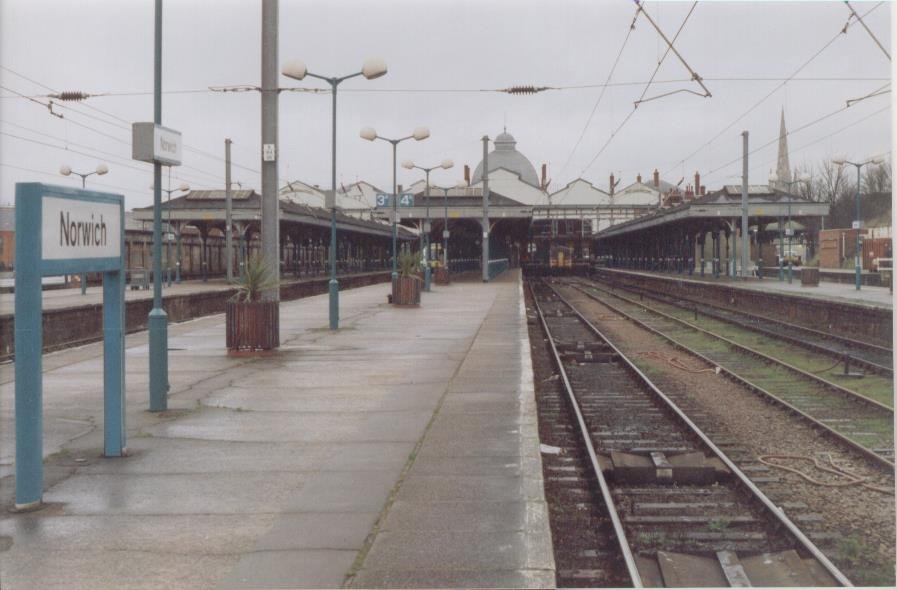
Trains
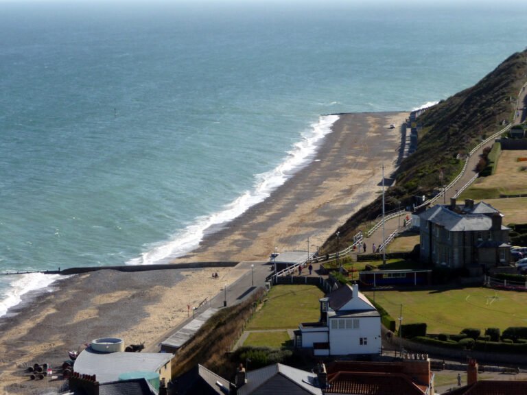
Greater Anglia operates most of Norfolk’s rail network; the King’s Lynn to London King’s Cross line is run by Great Northern (Govia Thameslink Railway). The main line runs from Norwich to London Liverpool Street (typically around 1hr 50min, with the fastest Norwich in 90 services making the trip in 1hr 30min, roughly hourly). King’s Lynn connects to London King’s Cross via Cambridge (fastest around 1hr 43min). A local line runs from Norwich through Wymondham, Attleborough and Thetford to Cambridge and beyond. The Bittern Line from Norwich to Sheringham via Cromer is one of the most scenic rail journeys in England.
| Route | Journey Time | Frequency | Season Ticket (Annual) |
|---|---|---|---|
| Norwich London Liverpool St | 1hr 50min | Hourly | ~£11,500 |
| King’s Lynn London King’s Cross | 1hr 45min | Hourly | ~£8,900 |
| Wymondham Norwich | 12min | Hourly | ~£1,800 |
| Diss London Liverpool St | 1hr 17min fastest | Hourly | ~£9,200 |
| Norwich Sheringham | 55min | Hourly | ~£3,100 |
| Norwich Great Yarmouth | 45min | Hourly | ~£2,800 |
Book advance tickets through Trainline for the cheapest fares, or buy a season ticket direct from Greater Anglia if you commute regularly.
Buses
Norfolk bus services are shared between several operators. Konectbus runs most Norwich city and mid-Norfolk routes. Sanders Coaches dominates north Norfolk (including the Coasthopper along the coast). First Eastern Counties operates east Norfolk including Great Yarmouth. Lynx serves King’s Lynn and west Norfolk. Within Norwich, frequencies are reasonable, the main routes run every 10-15 minutes during the day. Outside the city, services thin dramatically. The Coasthopper along the north Norfolk coast is excellent in summer but reduced in winter. Many rural villages have two or three buses per day, or none at weekends. If you’re relying on public transport, stick to Norwich or towns with rail stations. The Konectbus park-and-ride services around Norwich are well-used and affordable.
Driving
Norfolk has no motorways. The A11 (Norwich to London via Thetford) is fully dualled and the fastest route south. The A47 (Great Yarmouth to King’s Lynn via Norwich) is the main east-west route and partially single carriageway, the Acle Straight and sections near Dereham are notorious bottlenecks, though dualling work is underway between Blofield and North Burlingham. The A140 (Norwich to Cromer) is busy and largely single carriageway.
Breakdown cover from the RAC or AA is worth having for rural Norfolk roads. Expect agricultural vehicles on almost every B-road, particularly during harvest season. Journey times are consistently longer than sat nav estimates suggest. Norwich itself has a reasonable inner ring road system and five park-and-ride sites. Parking in the city centre costs around £8-£12 per day in council car parks.
Cycling
Norfolk’s flat terrain makes cycling practical, and the county has several excellent dedicated routes. Marriott’s Way runs 26 miles from Norwich to Aylsham along a former railway line, suited to commuting or leisure. The Bure Valley Path, Weaver’s Way, and numerous quiet lanes make Norfolk a genuine cycling destination. The Beryl bike-share scheme operates in Norwich with docking stations across the city. Wind is the main adversary, Norfolk is exposed, and headwinds can be significant.
Norwich Airport
Norwich Airport is small but useful, with flights to Amsterdam Schiphol (KLM) and Aberdeen and seasonal holiday destinations. The Amsterdam connection is the most valuable, Schiphol’s hub gives you access to the world. The airport is around 3 miles north of the city centre, with a free drop-off lane and paid short-stay parking from £6 for 30 minutes. For a wider range of flights, Stansted is about 2 hours by car and well-connected to the A11.
Frequently Asked Questions About Norfolk Transport Guide
Does Norfolk have good public transport?
Norwich has a good bus network and direct trains to London, Cambridge, and the coast. Beyond Norwich, public transport is limited. The Bittern Line (Norwich to Sheringham) and Wherry Lines (Norwich to Great Yarmouth and Lowestoft) serve the east. Western and rural Norfolk rely heavily on cars.
Is there a motorway near Norfolk?
No. The nearest motorway is the M11, roughly 90 minutes from Norwich. The main trunk roads are the A11 (to London/Cambridge), A47 (east-west across the county), and A140/A149 along the coast. Sections of the A11 and A47 are dual carriageway, but long stretches remain single carriageway.
Can you live in Norfolk without a car?
In Norwich, yes. The city has good bus services, cycle infrastructure, and rail connections. In market towns with railway stations (Diss, Wymondham, Downham Market, Cromer, Sheringham), it is possible with planning. In rural villages, a car is effectively essential for daily life.
How long does it take to get from Norwich to London?
Direct trains from Norwich to London Liverpool Street take around 1 hour 50 minutes. By car via the A11 and M11, expect 2.5 to 3 hours depending on traffic. Norwich Airport also offers flights to some UK and European destinations.
Related Guides
- Living in Norwich, Norfolk
- Living in King’s Lynn, Norfolk
- Living in Great Yarmouth, Norfolk
- Moving to Norfolk: The Complete Checklist
- Norwich vs King’s Lynn
- Commuting from Norfolk to London and Cambridge
Three Norfolk transport scenarios.
The London-bound commuter. Best base: Wymondham (rail), King’s Lynn (King’s Cross direct), Diss. Reality: 1h 30m-1h 50m direct; viable 2-3 days/week.
The coast-base remote worker. Best base: Sheringham or Cromer (Bittern Line). Reality: 55 min to Norwich; once-a-week commute.
The rural-living non-driver. Best base: Anywhere on Bittern Line or main rail. Reality: Off-rail villages require car or Coasthopper.
Plan the move
What to watch in 2026
- Property price trajectory. Norfolk’s 2026 trend tracks the county-wide -1 to -2% on the 12-month rolling mean.
- Greater Anglia / rail timetables. Mid-2026 changes affect rail-served towns and villages.
How we produced this guide
Property prices come from HM Land Registry sold-price data 12 months to March 2026. Population data from ONS Census 2021. School ratings from Ofsted Reports. Train times via Greater Anglia published timetables; drive times from Google Maps weekday-peak. Crime data from Police.uk for the Norfolk Constabulary force area. We update this guide quarterly. See our methodology page for source links.
Last reviewed · reviewed monthly
Planning a move to Norfolk?
Get shortlists of trusted Norfolk estate agents, removers, mortgage brokers and conveyancers. We only feature firms with verified local reviews.
Some links are paid partnerships. We only recommend firms we would use ourselves. See our affiliate disclosure.