All area guides
Living in Harleston
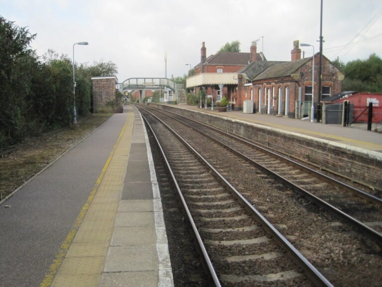
Harleston still has a town centre people use every week, and since November 2025 a Lidl beside the Co-op. What it lacks is a railway.

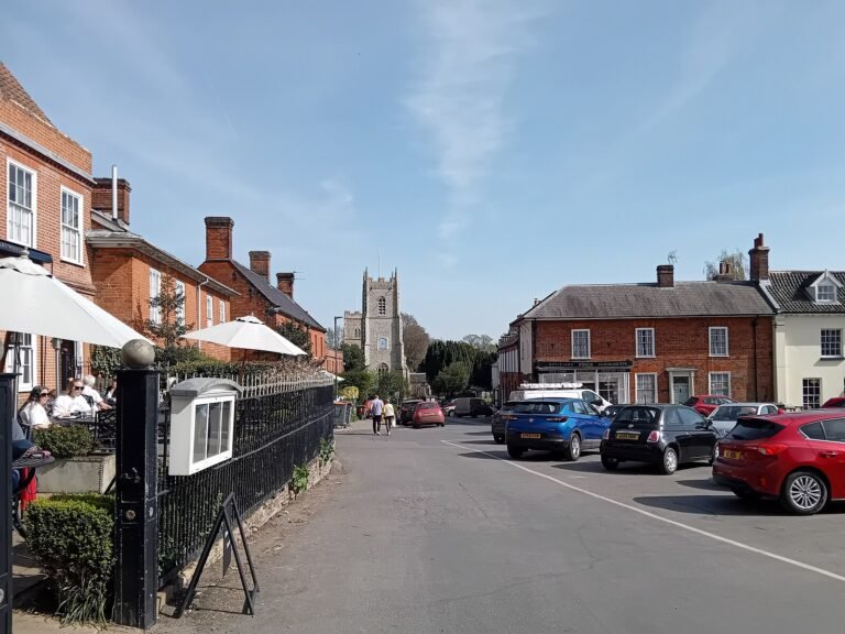
Harleston still has a town centre that people use every week. Independent shops run along the Thoroughfare, the market is out on Wednesday and Saturday mornings, and since November 2025 a Lidl has joined the Co-op, so the weekly shop no longer needs a drive to Diss. What Harleston lacks is a railway. Everything that needs a train starts with a drive, and Norwich is an hour away on the bus.
Where it is: about 16 miles south of Norwich city centre as the crow flies, in South Norfolk district, postcode IP20.
Buy in Harleston if you work from home or drive to work, and want to walk to the shops, the GP and a school that takes children from 3 to 16. Do not buy here if you need to reach Norwich or a station every day without a car.
Houses cost less than in Diss, especially detached ones, and the school was rated Good in every area at its June 2025 inspection. The catches are the journeys. There is no sixth form in town, so at 16 your children will be on a bus to Diss or Norwich, and the nearest A&E is at the Norfolk and Norwich University Hospital, about 35 minutes by car. Daily Norwich commuters are better placed in Wymondham, which has a station, or Cringleford, on the edge of the city.
The town centre
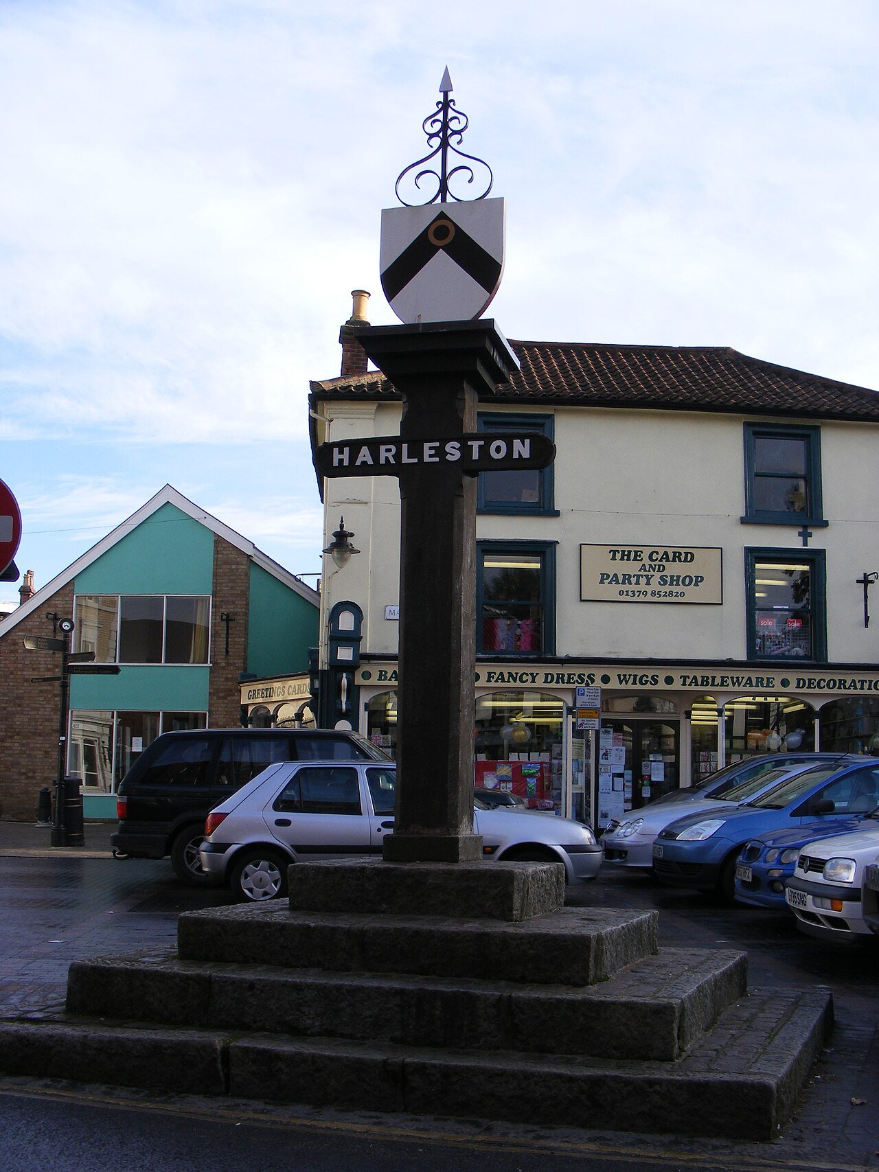
Harleston has held a Wednesday market since at least 1369. The town council now runs it on Wednesdays and Saturdays, 8:30am to 1pm, in the Market Place. The Thoroughfare, the main street, has an Adnams store at number 23 selling beer, wine and kitchenware, The Apiary cake and coffee house at number 3 and the Soul Cafe at number 37. The Swan Hotel at number 19 was built in 1551 by Robert Cook after he was pardoned for his part in Kett’s Rebellion, and is still a pub with rooms.
The East of England Co-op runs a supermarket on Bullock Fair Close, open from 6am to 10pm (10am to 4pm on Sundays), and Lidl opened on Mendham Lane on 6 November 2025. Diss, 10 miles west, has a Morrisons and a Tesco.
Harleston Medical Practice is also on Bullock Fair Close. The library on Swan Lane is staffed on four days a week, with self-service access on the other three. The swimming pool is on the Sancroft Academy’s Wilderness Lane site, where the Water Lilies swimming school runs lessons for babies, children and adults.
House prices
HM Land Registry recorded 75 standard sales in Harleston in the 12 months to June 2026. The median price was £250,000 and the mean £253,000. The small number of sales means one or two big houses can move these figures, so treat them as a guide.
| Property type | Median sold price | Sales |
|---|---|---|
| Detached | £299,725 | 30 |
| Semi-detached | £267,500 | 20 |
| Terraced | £155,000 | 15 |
| Flat or maisonette | £128,750 | 10 |
Diss had a median of £263,000 over the same period, from 138 sales. The bigger gap is at the top of the market: detached houses in Diss had a median of £355,000, about £55,000 more than in Harleston.
For the district, the UK House Price Index put the South Norfolk average at £311,587 in July 2026, up 1.5% on a year earlier and 0.1% on the month. First-time buyers in South Norfolk paid £256,600 on average. The index is adjusted for the mix of homes sold, and the district includes the villages around Norwich, so it sits well above Harleston’s own figures.
Thinking about moving to Harleston?
Get the free Norfolk Relocation Pack: Harleston and the other 45 towns we cover on one table, on price, council tax, population, trains and distance to Norwich, plus a week-by-week move checklist. The download appears here as soon as you enter your email.
Unsubscribe any time.
Schools: one school from 3 to 16, then a journey
Harleston has one state school, The Harleston Sancroft Academy (URN 149197) on Wilderness Lane, a Church of England academy for ages 3 to 16. It was formed on 1 September 2022 by merging Harleston Church of England Primary Academy with Archbishop Sancroft High School, and is run by the Diocese of Norwich St Benet’s Multi-Academy Trust. Ofsted inspected it on 24 and 25 June 2025 and rated it Good for quality of education, behaviour and attitudes, personal development, and leadership and management, and Outstanding for early years. The Department for Education lists 824 pupils against a capacity of 973. The school’s Ofsted page has the full report.
Sixth form means leaving town. Diss High School takes students to 18. Long Stratton High School stops at 16. Bungay High School, over the Suffolk border, stopped taking Year 12 students in September 2025 and its trust has proposed closing the sixth form, so do not count on it. The Norwich colleges are the other route. Our independent schools guide covers the fee-paying options.
Getting around
Harleston is on the A143. Diss is about 10 miles west, roughly 15 minutes to the station by car, and the same road runs east through Bungay towards Beccles and Great Yarmouth. Norwich is about 16 miles north, usually around 35 minutes by car.
Diss station has Greater Anglia trains every 30 minutes each way on the London to Norwich line. The fastest train to London Liverpool Street takes 1 hour 22 minutes and most take 1 hour 30 to 1 hour 38; Norwich is 17 minutes at best. That works for a London day or two a week, but the drive to Diss comes on top every time.
The main bus to Norwich is First Eastern Counties’ Purple Line 36A, which leaves Harleston hourly on weekdays from 06:35 and takes about an hour to Castle Meadow via Long Stratton. The last one back leaves Castle Meadow at 18:21. Central Connect’s 82A adds two late buses from Castle Meadow, at 21:20 and 23:20. Central Connect’s 81 runs to Diss bus station 11 times a weekday, from 07:45 to 18:00, taking about 25 minutes. The 64 through Hempnall and Borderbus’s 580 to Bungay, Beccles and Great Yarmouth each make one trip a day from Harleston and one back. Times are from bustimes.org, checked 24 September 2026.
Council tax
Harleston is in the parish of Redenhall with Harleston, where a Band D home pays £2,603.05 for 2026-27. Of that, Norfolk County Council takes £1,843.38, the Norfolk Police and Crime Commissioner £344.79 and South Norfolk Council £180.00. The remaining £234.88 is the town council’s share. Diss pays £2,624.36 at Band D.
The other bands in Harleston are A £1,735.37, B £2,024.59, C £2,313.82, E £3,181.51, F £3,759.96, G £4,338.42 and H £5,206.10. Our Norfolk council tax guide compares the districts.
Broadband and mobile
We do not have a Harleston-only figure. Across South Norfolk, thinkbroadband’s September 2026 data shows 77.30% of premises can get full fibre and 97.52% can get superfast speeds of 30 Mbps or more. Run the Ofcom broadband and mobile checker on the exact address before you offer, particularly outside the town. Our Norfolk mobile signal guide covers 4G and 5G across the county.
Crime
Police.uk recorded 69 crimes and antisocial behaviour reports within a mile of the town centre from May to July 2026. Violence and sexual offences (29) and antisocial behaviour (15) made up most of them; there were three burglaries. Enter a street on the Police.uk map for the latest month, and see our safest places in Norfolk guide for how the towns compare.
Walking and the art trail
The Angles Way, a 93-mile path that follows the Waveney valley, passes through Harleston between Diss and Bungay. Each May the Harleston and Waveney Art Trail opens artists’ studios in the villages within about ten miles of the town.
Plan the move
How we produced this guide
Town sale prices are from HM Land Registry Price Paid Data, standard sales with a Harleston or Diss address, for the 12 months to June 2026. District prices are from the UK House Price Index for South Norfolk, July 2026. Population is from the 2021 Census for Redenhall with Harleston parish. School details are from the Ofsted report of June 2025 and the Department for Education’s school register. Council tax is from South Norfolk Council’s 2026-27 charges and budget documents. Train times are the fastest and average journeys listed by Trainline, and bus times are from the bustimes.org timetables, both checked in September 2026; drive times are typical times. Broadband figures are from thinkbroadband, and crime figures from Police.uk street-level data. We update this guide quarterly. See our methodology page for full source links.
Frequently asked questions
Is Harleston a good place to live?
It suits people who work from home or drive, and want shops, a GP and a 3 to 16 school within walking distance. It suits people who need a daily train or bus to Norwich less well, because the town has no station and the bus takes about an hour.
What are house prices like in Harleston?
The median of the 75 standard sales HM Land Registry recorded in the 12 months to June 2026 was £250,000. Terraced houses had a median of £155,000 and detached houses £299,725.
How far is Harleston from Norwich?
About 16 miles, usually around 35 minutes by car. The First Eastern Counties 36A bus runs hourly on weekdays and takes about an hour.
Which school covers Harleston?
The Harleston Sancroft Academy (URN 149197), a Church of England school for ages 3 to 16. Ofsted rated it Good in every area and Outstanding for early years in June 2025. There is no sixth form; Diss High School is the nearest that goes to 18.
What is council tax in Harleston?
Band D is £2,603.05 for 2026-27 in Redenhall with Harleston parish, of which £234.88 goes to the town council. Band A is £1,735.37.
Last reviewed
Still weighing it up? See how Harleston compares with Diss on prices, schools, broadband and council tax, or answer five quick questions and get a shortlist of the Norfolk towns that fit you.
Planning a move to Norfolk?
Our guides to hiring the firms a move needs.
We earn no commission on these links. Paid placements are sold separately and always labelled. See our advertising and disclosure page.